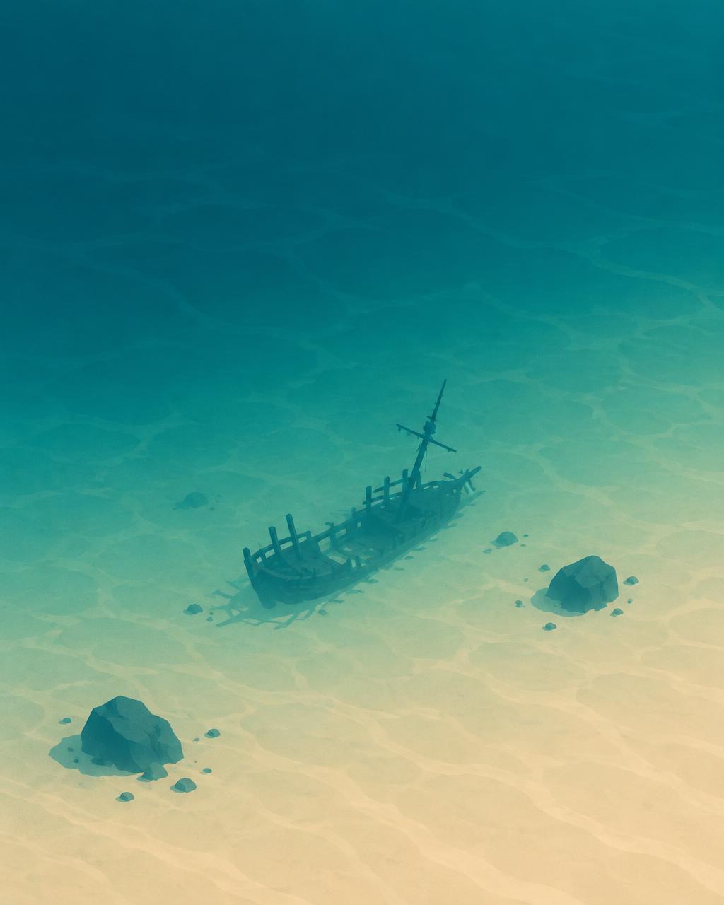
Choose your next adventure

Sea Level Simulator
Sea Level Simulator
PlayableRaise the seas, or drain them to the last trench.
Sea Level Simulator is a free interactive 3D globe built on real elevation data from NOAA and satellite imagery from NASA. One water gauge controls the whole ocean: pull it down and the water drains away meter by meter, revealing what the seabed really looks like.
Go low and the ocean floor appears: the wreck of the Titanic, Shackleton's Endurance, the San José galleon and its gold, the sunken city of Heracleion, hydrothermal black smokers and the Mid-Atlantic Ridge, a mountain range longer than any on land. Go high and the water climbs the continents, covering coastlines, cities and finally Mount Everest at +8,849 meters.
It is a sea level change simulator you steer yourself, not a climate forecast — the point is the scale. Like Scale of Energy and How Long Until It's Gone?, it turns a number too big to picture into something you can slide up and down with one finger. Part of our collection of interactive learning games for curious adults.
How to play
Drag the globe to spin the Earth, scroll or pinch to zoom, and drag the water gauge on the right edge up or down to raise or lower the sea.
Discoveries appear as the water passes their depth — shipwrecks, sunken cities and deep-sea landmarks. Keep pulling the gauge below −10,000 meters to reach the deepest point, or push it above 8,000 meters to drown the tallest mountain.
What you can find at the bottom of the ocean
- Heracleion, a sunken Egyptian port city, and the Yonaguni monument off Japan.
- Shipwrecks: USS Arizona, RMS Lusitania, the SS Central America 'Ship of Gold', Endurance, Titanic and Bismarck.
- The Antikythera wreck with its ancient geared 'first computer', and the San José galleon's treasure.
- Black smokers, the Mid-Atlantic Ridge, Point Nemo and Challenger Deep at about −11,000 meters.
Why I created this
I thought it would be cool to see what's at the bottom of the ocean.
FAQ
What does the sea level simulator show?
A 3D Earth where you can raise or lower the ocean with one control. Lower the sea to explore the seabed and its shipwrecks, or raise it to see what would flood at higher water levels.
Is this a climate change prediction?
No. It is a playful model of real Earth topography, not a forecast. Real sea level rise is measured in centimeters over decades; here you can exaggerate the water to any depth to see the shape of the planet.
Where does the map data come from?
The globe uses NOAA's ETOPO1 global elevation data and NASA's Blue Marble satellite imagery. Land heights and ocean depths are real; the labels are rounded estimates.
Is it free and does it work on mobile?
Yes. It runs in your browser with no download or signup. Drag with a finger on a phone, or use the mouse and scroll wheel on a computer.
Elevations and depths come from public NOAA and NASA data and are rounded for play. The simulator is not a scientific sea level forecast.